Gatlinburg’s Most Breathtaking Scenic Drives Through the Smokies
Nestled on the edge of the Great Smoky Mountains National Park, Gatlinburg, Tennessee, has long been celebrated as one of the most beautiful small towns in the Appalachian range. In 2026, its appeal remains undimmed, drawing nature lovers who seek a perfect blend of mountain serenity and accessible outdoor adventure. The town itself offers attractions like the Gatlinburg SkyBridge and Ripley’s Aquarium of the Smokies, but its true magic lies just beyond the city limits—on winding roads that snake through ancient forests, past tumbling streams, and up to jaw‑dropping overlooks.
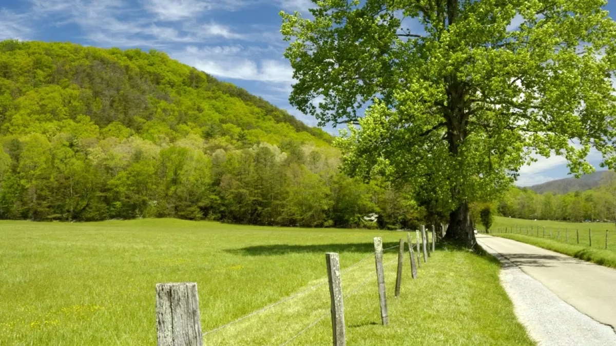
For those who prefer to explore on four wheels, Gatlinburg acts as the perfect basecamp. The following drives, each with its own character, showcase the immense beauty of the Smokies and offer a mix of short, easy cruises and longer, off‑the‑beaten‑path journeys that reveal the park’s quieter side.
Upper Tremont Road – A Water‑Lover’s Delight
One of the shortest and sweetest routes is Upper Tremont Road, a 3.4‑mile out‑and‑back drive that mixes gravel and pavement. Water is the constant companion here; small creeks and natural pools appear around nearly every bend, tempting travelers to stop, wade, or cast a line. This intimate road feels worlds away from the busier thoroughfares, and it rewards unhurried exploration. The gentle hum of cascading water and the dappled light filtering through the trees make it a favorite for families and photographers seeking a quick escape.

Clingmans Dome Road – A Summit Without the Hike
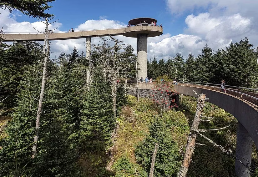
For a high‑altitude panorama with minimal effort, Clingmans Dome Road is unbeatable. Fully paved and just seven miles long, it leads straight to the highest point in the Smokies. At the summit, the iconic observation tower delivers 360‑degree views that stretch for miles on clear days—a sea of blue‑gray peaks rolling into eternity. Because the road is so accessible, it can get busy, but the sunrise and late‑afternoon light transform the landscape into something ethereal. Even in 2026, with the park’s increasing popularity, an early start guarantees a near‑private experience atop this legendary overlook.
Forge Creek & Parson Branch Roads – A Trip Back in Time
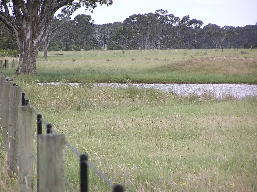
This 16‑mile two‑in‑one loop threads through some of the most historically rich terrain in the park. Once used by bootleggers and moonshiners during Prohibition, these gravel roads now offer a taste of frontier Appalachia. Moss‑covered trees arch overhead, and small offshoots beckon explorers to discover forgotten homesteads or capture Instagram‑worthy scenes. The tight, unpaved surface keeps crowds minimal, making it feel like a secret passage through the mountains. Listen closely, and one can almost hear the echoes of old stories carried on the wind.
Cataloochee Valley Road – Solitude and Splendor
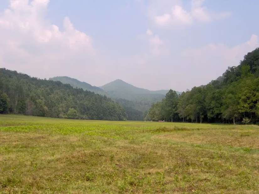
Those who crave peace and quiet will find it on Cataloochee Valley Road. This narrow, windy gravel path is often overlooked due to its steep drop‑offs and lack of guardrails, yet for the intrepid driver, that’s precisely the appeal. The reward is a tranquil drive through one of the park’s most pristine sections, where wild turkeys roam the meadows and the only sound may be the wind rustling through the hardwoods. In autumn, the ridgelines explode in fiery hues; in summer, the valley is a lush emerald blanket. It remains one of the best‑kept secrets among Gatlinburg’s scenic drives.
Roaring Fork Motor Nature Trail – Where History Meets Wild Beauty
The six‑mile Roaring Fork Motor Nature Trail is a showcase of everything the Smokies do best. The narrow, tree‑tunneled road follows the banks of the Roaring Fork River, passing thunderous waterfalls and sun‑dappled glades. It is also one of the park’s premier wildlife‑viewing corridors; black bears, deer, and even eagles are commonly spotted. History enthusiasts will delight in the preserved 19th‑century log cabins, grist mills, and churches that dot the route, offering a tangible link to the settlers who once carved a life out of these rugged mountains.
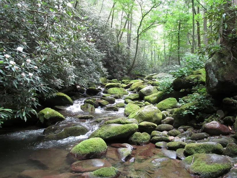
Foothills Parkway – The Panoramic Skyway
For a high‑road sweep of the Smokies, the Foothills Parkway is essential driving. Stretching 33 miles across eastern Tennessee, this newer parkway glides along the mountains’ shoulders, delivering one jaw‑dropping vista after another. Multiple pull‑offs allow for extended gazes over rolling hills, farm‑checkered valleys, and the distant blue‑black peaks of the high country. The 2026 extension has only enhanced its reputation as one of the most photogenic drives in the Southeast, especially during the golden hour when the landscape glows.
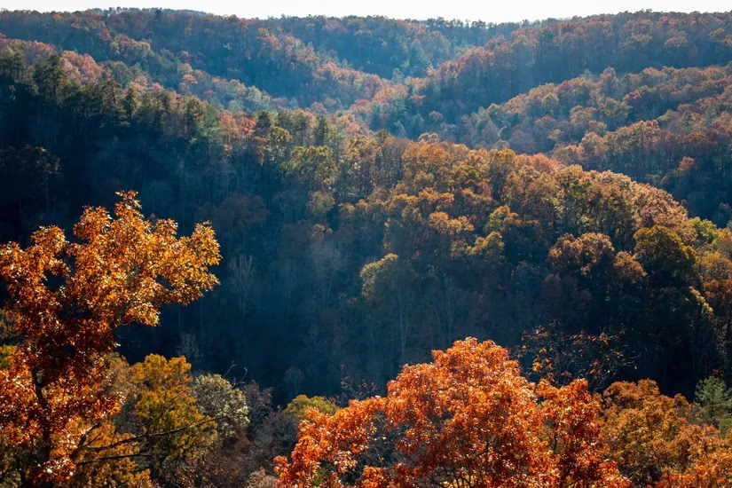
Cades Cove Loop Road – A Journey Through Living History
No visit to Gatlinburg is complete without circling the 11‑mile Cades Cove Loop. This one‑way road opens onto broad meadows framed by imposing peaks, a setting that has become synonymous with Smoky Mountain photography. White‑tailed deer graze in the tall grasses, turkeys strut along the pavement, and in the early morning mist, black bears often emerge from the forest edge. Historic cabins, churches, and a working grist mill are scattered along the route, inviting drivers to park and step back into the 1800s. It is a slow‑paced, soul‑soothing drive that explains why the Smokies remain the most visited national park in the country.
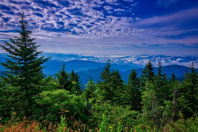
Newfound Gap Road – The Alpine Crossing
Connecting Gatlinburg to Cherokee, North Carolina, Newfound Gap Road is a 31‑mile alpine journey that climbs through deciduous forests and subalpine spruce‑fir zones. It reaches its zenith at the Newfound Gap overlook, straddling the Tennessee–North Carolina state line at over 5,000 feet. On a clear day, the view seems endless, with layer after layer of mountains fading into the haze. In winter, the road can be icy, but the reward is a snow‑dusted wonderland; in spring, wildflowers line the path, making every season a reason to return.
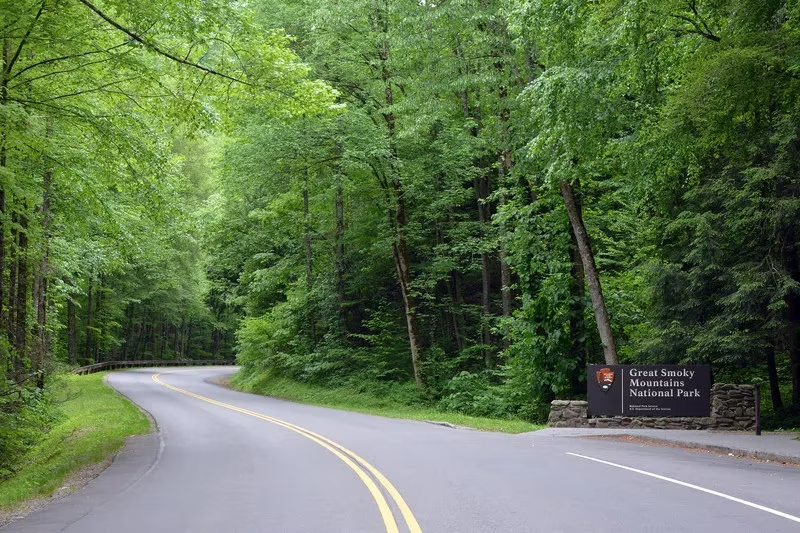
Little River Road – The Riverside Rambler
Flanking the gentle Little River for much of its 18 miles, this road offers a calming, almost meditative drive. It connects the bustle of Gatlinburg to the iconic Cades Cove and passes trailheads for some of the park’s most beloved hikes, including the path to Abrams Falls. Pull‑outs beside the water invite picnickers and trout anglers, while the dense canopy overhead creates a cathedral of green. A stop at the Townsend “Y” provides a taste of local culture with craft shops and country eateries, making this drive as much a cultural excursion as a natural one.
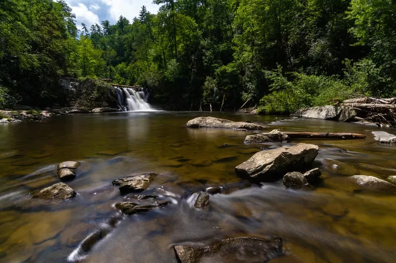
Wears Valley Road – The Village‑to‑Valley Connector
Also known as Highway 321, Wears Valley Road links Pigeon Forge to Townsend across 16 miles of pastoral beauty. The route meanders through small communities where roadside farm stands sell local honey and apples in season, and the long‑range views of Cove Mountain and Roundtop are nothing short of stunning. It is a less hurried alternative to the Parkway, and in 2026, it has become a favorite for those who want to pair a scenic drive with a leisurely afternoon of antiquing or sampling local barbecue.

From the shortest stream‑side rambles to high‑altitude skyways, Gatlinburg’s scenic drives capture the essence of the Great Smoky Mountains in unforgettable ways. Each road tells a story—of water, of history, of wildlife, of human perseverance—and together they form a network of experiences that keep travelers returning year after year. In a world that often moves too fast, these drives offer a gentle reminder to slow down, roll down the window, and breathe in the mountain air.